New research identifies a climate signature in rivers globally
17 September 2019
A new study, including scientists from Cardiff University and published today in the journal Nature, discovers a clear climatic signature on rivers globally that challenges existing theories.
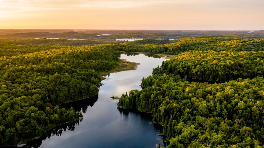
If you walk from a river’s source to its mouth, you walk a path that descends in elevation. In some rivers, this path will descend steeply out of the uplands, and then flatten out in the lowlands.
This results in an elevational profile (which is called the long profile) that has a concave up shape, similar to the shape of the inside of a bowl as you trace it from the inside rim to the bottom. In contrast, a straight long profile descends evenly in elevation, like a ramp, along the path as you walk from the source to the mouth.
The new research shows that while river long profiles tend to be concave up in humid regions, they become progressively straighter in drier regions.
Lead author Shiuan-An Chen from the University of Bristol’s School of Geographical Sciences, said: “The long profile is formed gradually over tens of thousands to millions of years, so it tells a bigger story about the climate history of region. We would expect climate to affect the river long profile because it controls how much water flows in rivers and the associated force of water to move sediment along the riverbed.”
Up until now scientists have lacked a large, systematic dataset of rivers that spans the range of climate zones on Earth, enabling full exploration of the links between climate and river form. The research team produced a new, freely available, database of river long profiles, generated from data originally collected by NASA’s space shuttle.
They used specialist software to develop a new long profile database that includes over 330,000 rivers across the globe.
The study shows for the first time at the global scale that there are distinct differences in river long profile shapes across climate zones, and that the reason behind these differences lies in the expression of aridity in streamflow in rivers.
In humid regions, rivers tend to have flow in them all year round which continually moves sediment and erodes the overall profile into a concave up shape.
As the climate becomes progressively arid (from semi-arid, to arid, to hyper-arid), rivers only flow a few times per year when it rains, moving sediment infrequently.
Additionally, arid rivers tend to experience brief, intense rainstorms, which do not create flow over the entire river length.
These links between climate, streamflow and long profile shape are explained in the paper using a numerical model which simulates the evolution of river profiles over time in response to streamflow characteristics.
The authors show that regardless of all other potential controls on river profiles, streamflow characteristics have a dominant effect on the final profile shape. They demonstrate that the differences in the climatic expression of streamflow explain the variations in profile shape across climatic regions in their database.
Dr Michael Singer, from the School of Earth and Environmental Sciences, said: “It's been a holy grail to find climate signatures in landscapes for quite a while. We have finally detected the signature of aridity that is systematically expressed across the globe.”
Share this story

Find out more with our Earth and Environmental Sciences undergraduate degree brochure.


